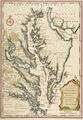
Map of the colonies of Virginia and Maryland

Map of North America with the settlements of Virginia and the course of Ohio
Map of Indian Territory and Oklahoma
Gilcrease Museum

Scope and Content Notes
This map of Indian Territory, present day Oklahoma, was authorized by Congress.
Archival Location
- Collection: Gilcrease Museum Map Collection


